
The short version
The Waquoit Bay National Estuarine Research Reserve runs continuous water and weather monitoring as part of a national program. This four-page status report summarizes trends from 2000 to 2022. Water got warmer and algae increased at all four monitoring sites. In 2022, three of the four sites routinely had critically low oxygen, the water was cloudier than usual almost everywhere, and the bay’s once-widespread eelgrass beds were not found.
What the researchers did
The Reserve takes part in the System-Wide Monitoring Program (SWMP) of the National Estuarine Research Reserve System, a partnership of NOAA and coastal states. SWMP measures short-term swings and long-term change at reference sites in every reserve, and the data are publicly available.
- Water quality is tracked at four stations: Childs River, Menauhant, Metoxit Point and Sage Lot Pond. Weather is recorded at the Reserve’s Carriage House.
- The report looks at trends in temperature, salinity, oxygen, pH, cloudiness, nutrients and chlorophyll (a measure of algae) from 2000 to 2022, and highlights conditions in 2022.
What they found
- Warmer. Water temperature increased at all four stations, and air temperature has risen since weather records began in 2002. Average monthly air and water temperatures in 2022 were above long-term averages for most of the year.
- More algae. Chlorophyll increased at all four stations. At the Childs River it frequently exceeded the critical threshold of 20 micrograms per liter.
- Low oxygen at night. Oxygen at Metoxit Point, the Childs River and Sage Lot Pond routinely dropped into the hypoxic range at night in summer. Oxygen declined over time at Sage Lot Pond.
- Cloudier water. In 2022, turbidity was above the long-term average at every station through most of the year. Rainfall was about 8 inches above average.
- Less dissolved nitrogen in the water, with a caveat. Dissolved inorganic nitrogen, including ammonium, decreased at all four stations, and all 2022 readings were rated fair to good. The report cautions that these are spot concentrations at particular places and times, and they don’t show how much nitrogen is entering the bay.
- Eelgrass gone from the survey. In 2022, the report says,
once-widespread eelgrass beds were not found
(Waquoit Bay NERR, 2024).
What it means for Waquoit Bay today
The falling dissolved-nitrogen readings might look like good news, but the report itself warns that they don’t show how much nitrogen is entering the bay. The other trends tell a clearer story: more algae, cloudier water, low oxygen at night and no eelgrass are the familiar signs of too much nitrogen. The report also notes that excess nutrients and high temperatures can both trigger algal blooms that use up oxygen, so a warming bay adds to the stress.
The report closes with simple steps residents can take, such as limiting fertilizer, composting, picking up after pets and redirecting downspouts onto lawns rather than driveways. Those help at the margins. The bigger cuts depend on the towns’ wastewater plans; for the targets they aim at, see our explainer on the state’s threshold report.
Read the report
Waquoit Bay National Estuarine Research Reserve. (2024). Waquoit Bay Trends: Weather & Water Quality. Highlights and trends in weather and water quality at Waquoit Bay since 2000 (SWMP status report). Waquoit, MA. https://waquoitbayreserve.org/wp-content/uploads/SWMP-Status-Report-2024.pdf
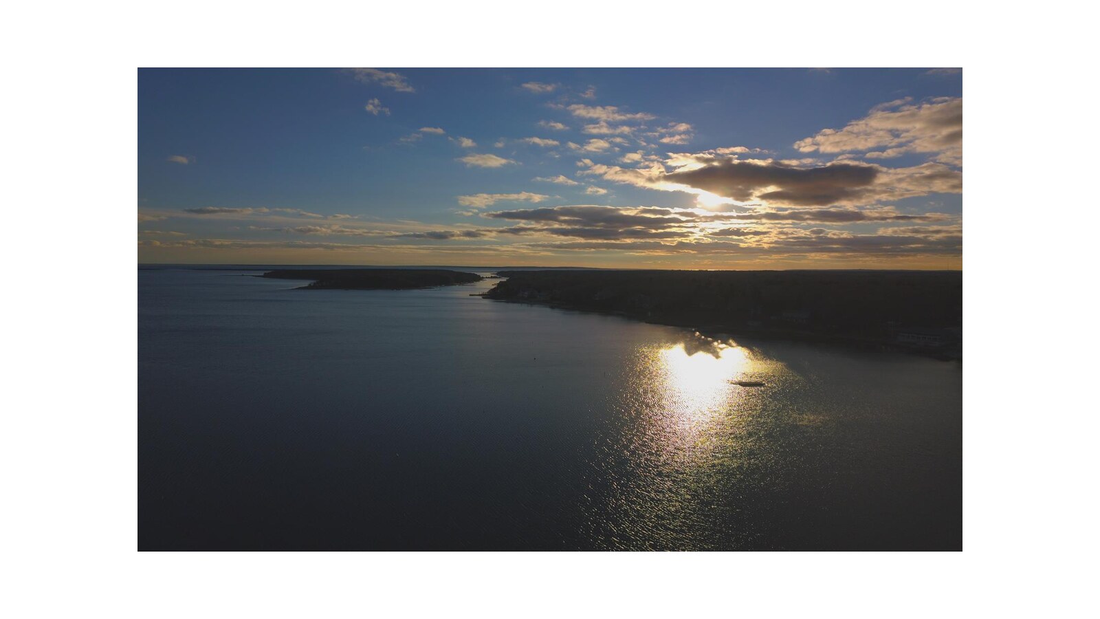
License: Published by the Waquoit Bay National Estuarine Research Reserve, a state–federal partnership. It carries no open license, so we link to the Reserve’s copy rather than hosting one. The underlying monitoring data are free to download from NOAA’s SWMP data sites. The card image is the cover photograph from the report, the Reserve’s own photo, with no third-party credit.
Drafted with AI assistance from the linked source.


